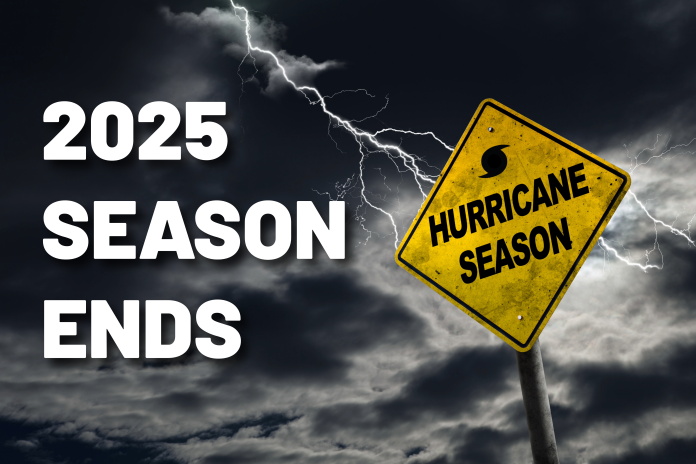
The 2025 Atlantic hurricane season ended Sunday with no hurricane making a direct strike on the United States, but North Carolina still endured several storms that caused flooding, coastal damage and widespread disruptions across the state.
Forecasters say the season produced 13 named storms, including five hurricanes, four of which reached major hurricane strength. While shifting atmospheric patterns helped steer the strongest systems out to sea, North Carolina felt their effects as storms passed just offshore or moved inland as tropical disturbances.
Along the coast, Hurricane Erin tracked just east of the Outer Banks in August, staying offshore but generating dangerous surf and flooding. Waves near 20 feet battered beaches from Ocracoke to Nags Head, and gusts above 50 miles per hour were recorded in some communities. Portions of N.C. 12 closed after water washed across the highway, and minor erosion was reported in several oceanfront neighborhoods. More than 2,000 people left Hatteras Island ahead of Erin’s closest approach.
Inland, Tropical Storm Chantal delivered some of the most damaging impacts North Carolina saw this season. After coming ashore in July, Chantal dropped more than 10 inches of rain in parts of the state, triggering widespread flash flooding. Moore County was among the hardest-hit areas, with floodwaters washing out multiple roads and damaging several dams. Emergency crews responded to water rescues across the Sandhills as creeks and retention ponds overtopped their banks, leaving neighborhoods cut off and roadways impassable.
The storm also caused deadly flooding in Alamance County, where two people were swept away in their vehicles. Across the Triangle and Triad, rivers including the Haw, Deep and Eno surged to near-record levels, destroying sections of rural roads and damaging structures in low-lying communities.
Even without a U.S. landfall, the season reflected concerns meteorologists have been raising for years. Tropical systems are becoming wetter and more unpredictable, with heavy rainfall now posing a significant threat well inland. Warmer ocean waters fueled rapid intensification throughout the season, and forecasters warn that even weaker storms can produce life-threatening flooding.
State officials say the 2025 season reinforces the need for preparation across North Carolina, from evacuation plans and emergency supplies to improved flood-mitigation efforts in communities that continue to grow in vulnerable areas.
North Carolina ultimately avoided catastrophic hurricane damage this year, but the flooding, erosion and infrastructure losses from storms like Chantal show the lasting impacts tropical weather can leave behind. As the season comes to a close, residents across the state are already turning their attention toward recovery and preparing for what the next season may bring.